

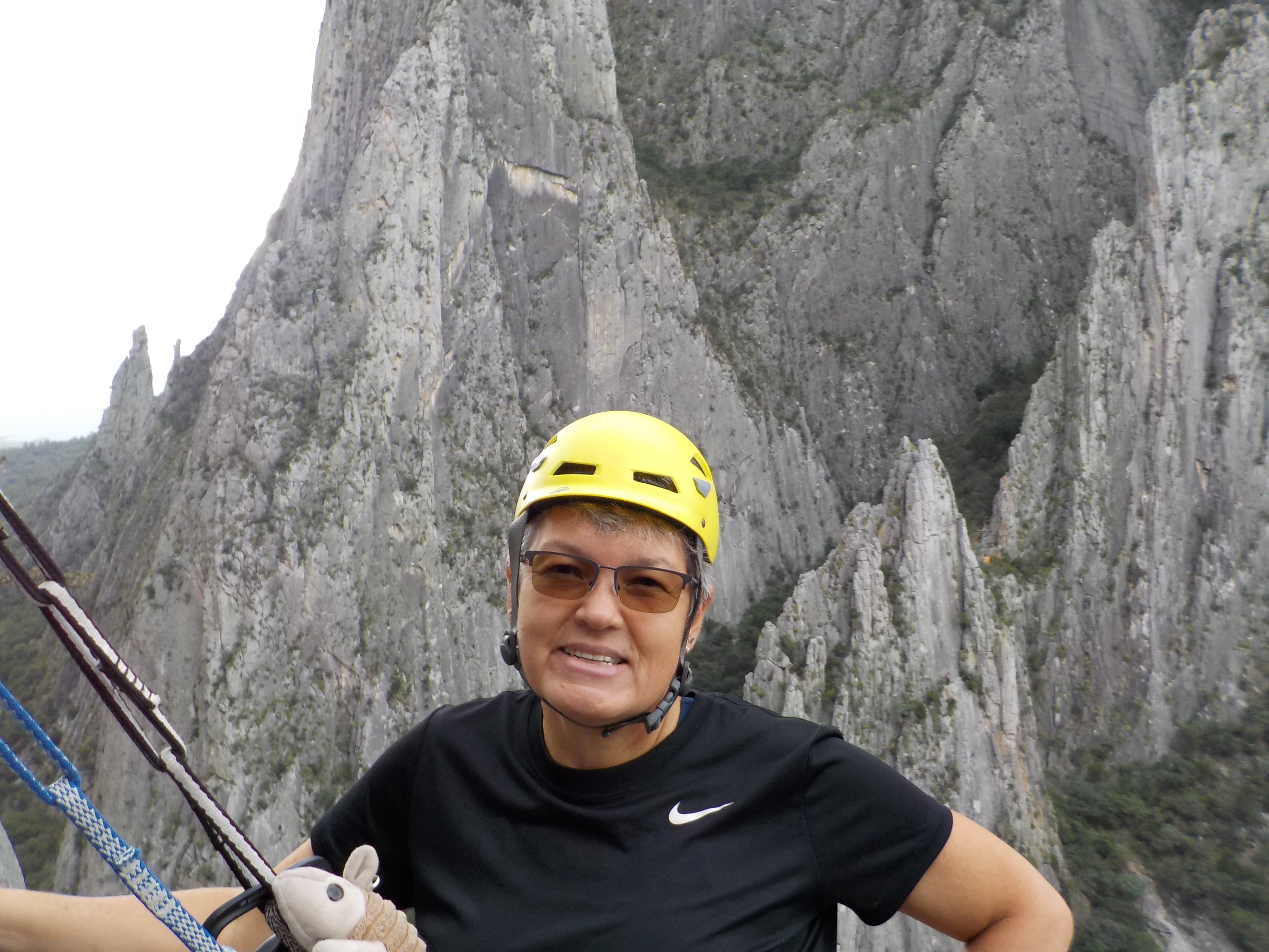
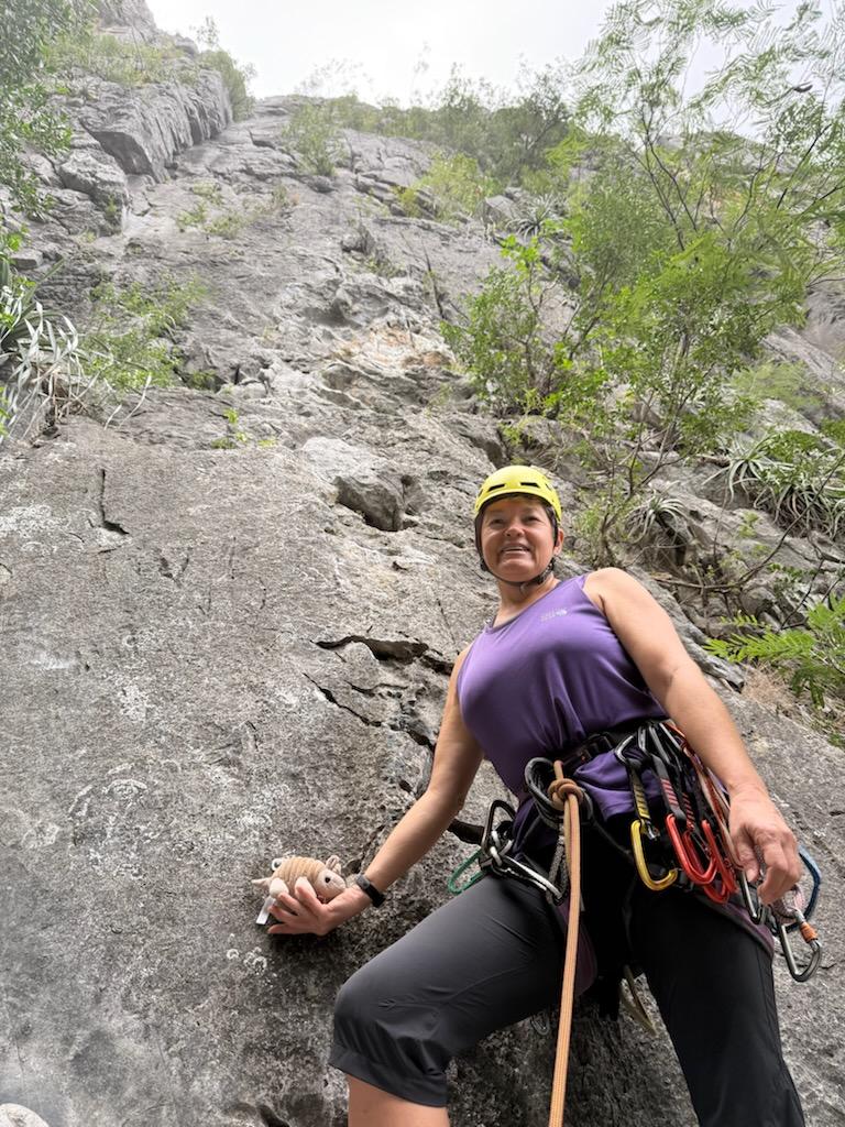
Final day of climbing was about as good as it gets… dry limestone, great weather, beautiful views, and friendly folks at the crag.

Final day of climbing was about as good as it gets… dry limestone, great weather, beautiful views, and friendly folks at the crag.
Rained out.
The morning was misty and the ground was wet so we thought we were rained out. I suggested walking to one of the crags to check the actual condition of the rock. Low and behold, we almost missed out on a great day of climbing.
After we scrambled down the scree field at the end of our climbing day, we decided to drop our gear off in our room, then walk the 30 minutes to town for a traditional Thanksgiving dinner advertised at El Búho Café. (Okay, we were really going for the pie.) As we passed through the gate leaving EPC, it started to rain. (So much for pie.) Another stop at Leo’s for the best cooked meat in Hidalgo was the revised option and it was even better than the first visit. (He added lamb for the holiday.)

About to climb a few routes on La Selva wall.

The forecast predicted rain so we thought we’d have a rest day. After an early morning sprinkle, the sun came out and we were happily on our way to EPC. By the end of the day, the cloud coverage looked ominous.
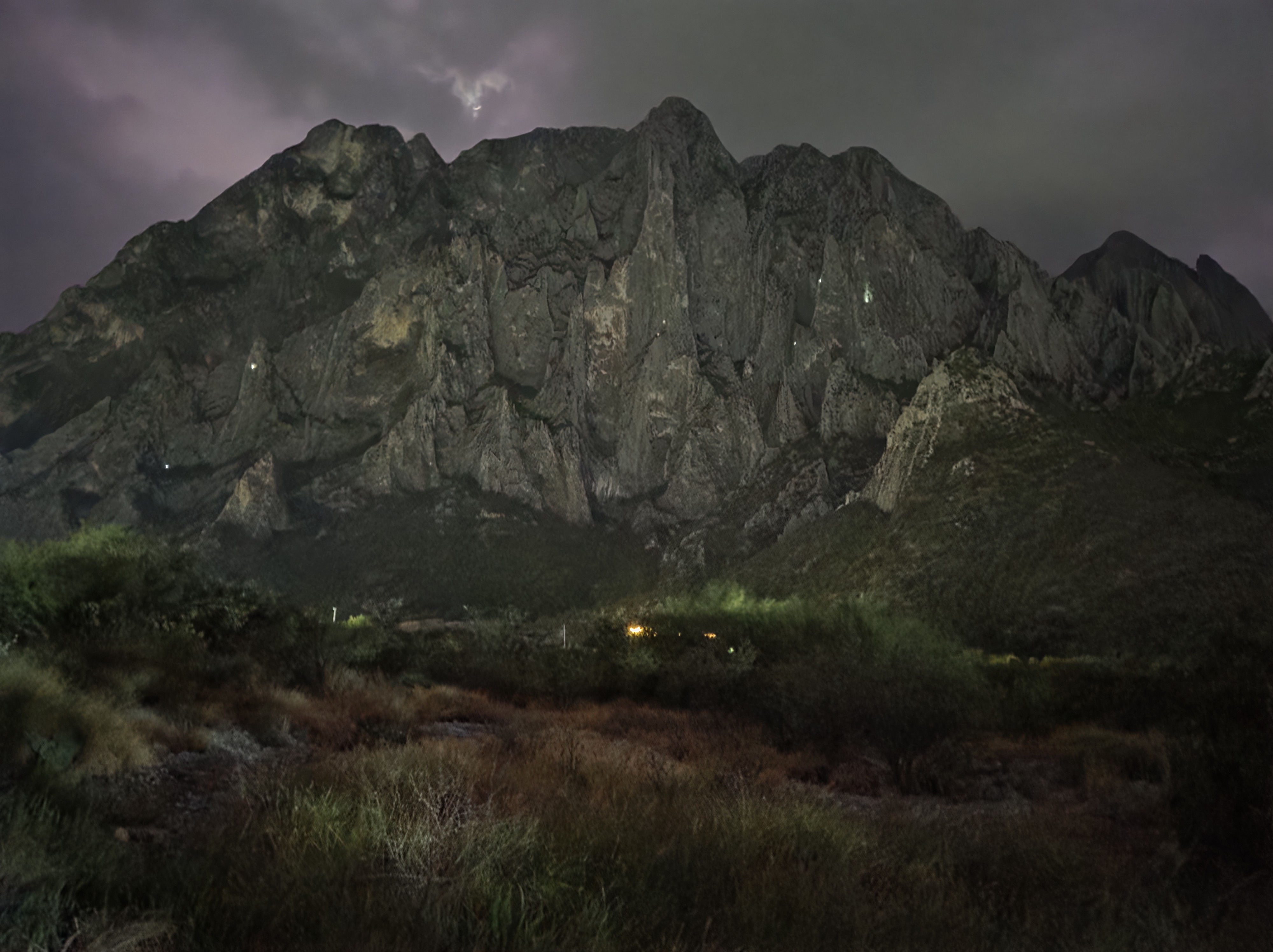
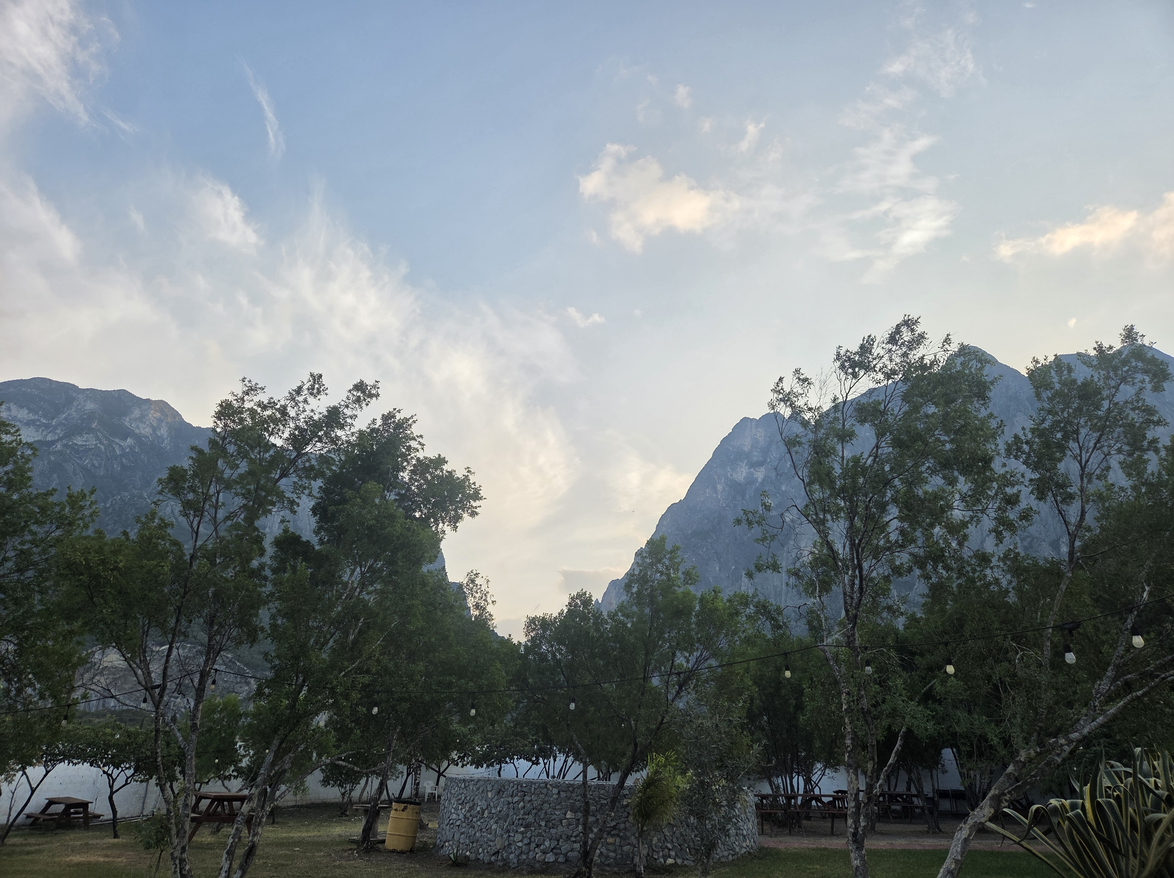
After returning to Rancho El Sendero, a mist had started so dinner was at La Cumbre, the onsite restaurant.
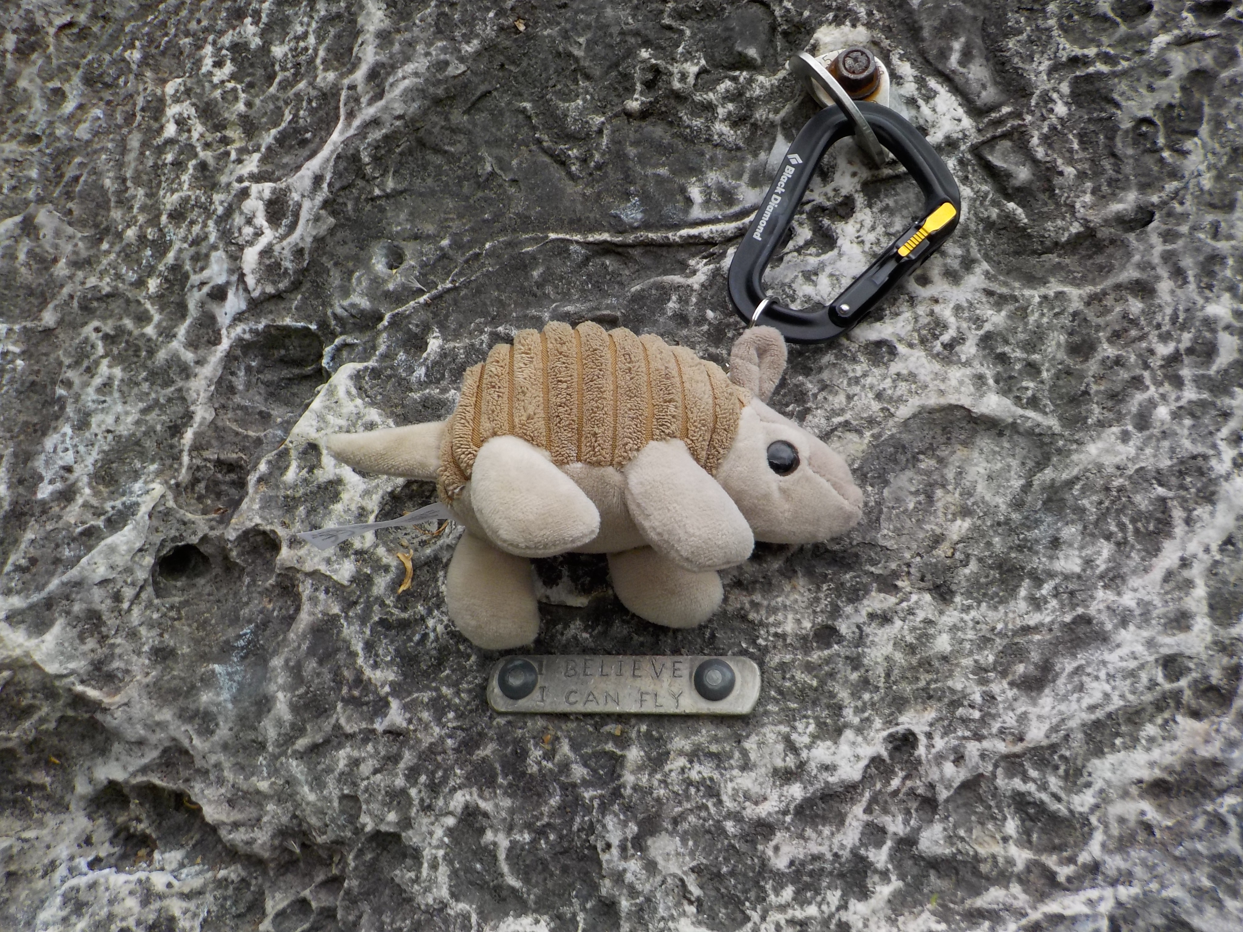
Trying to entice my climbing partner to do a little night climbing.
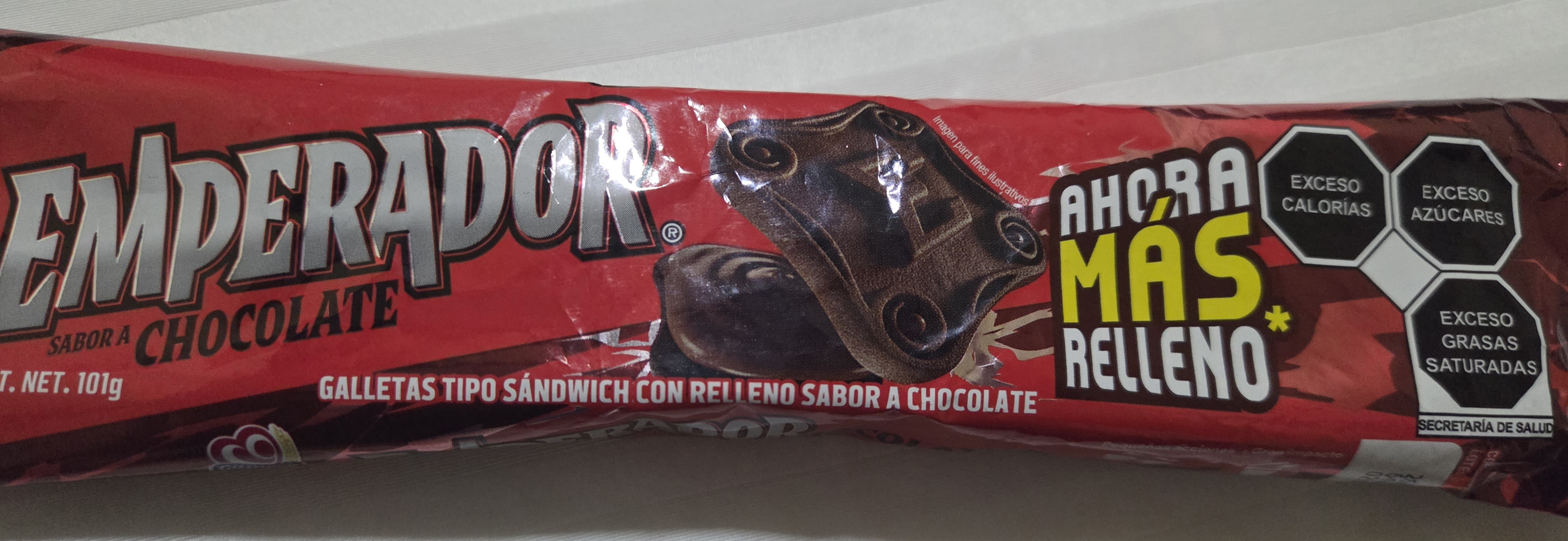
I originally thought this brand was advertising excessive calories, sugar, and saturated fat… I realized afterwards it was a ministry of health warning. Oops. They’re not very good but after climbing a traverse ending with a chimney (my least favorite features), it was a necessary indulgence.

Beau and I were chilling at the base of Zombie Wolf before the climb. It’s an easy but fun dihedral. A 70 meter rope does NOT get you to the ground but close enough.

End of day parting shot.
8:30am and basically a ghost town.

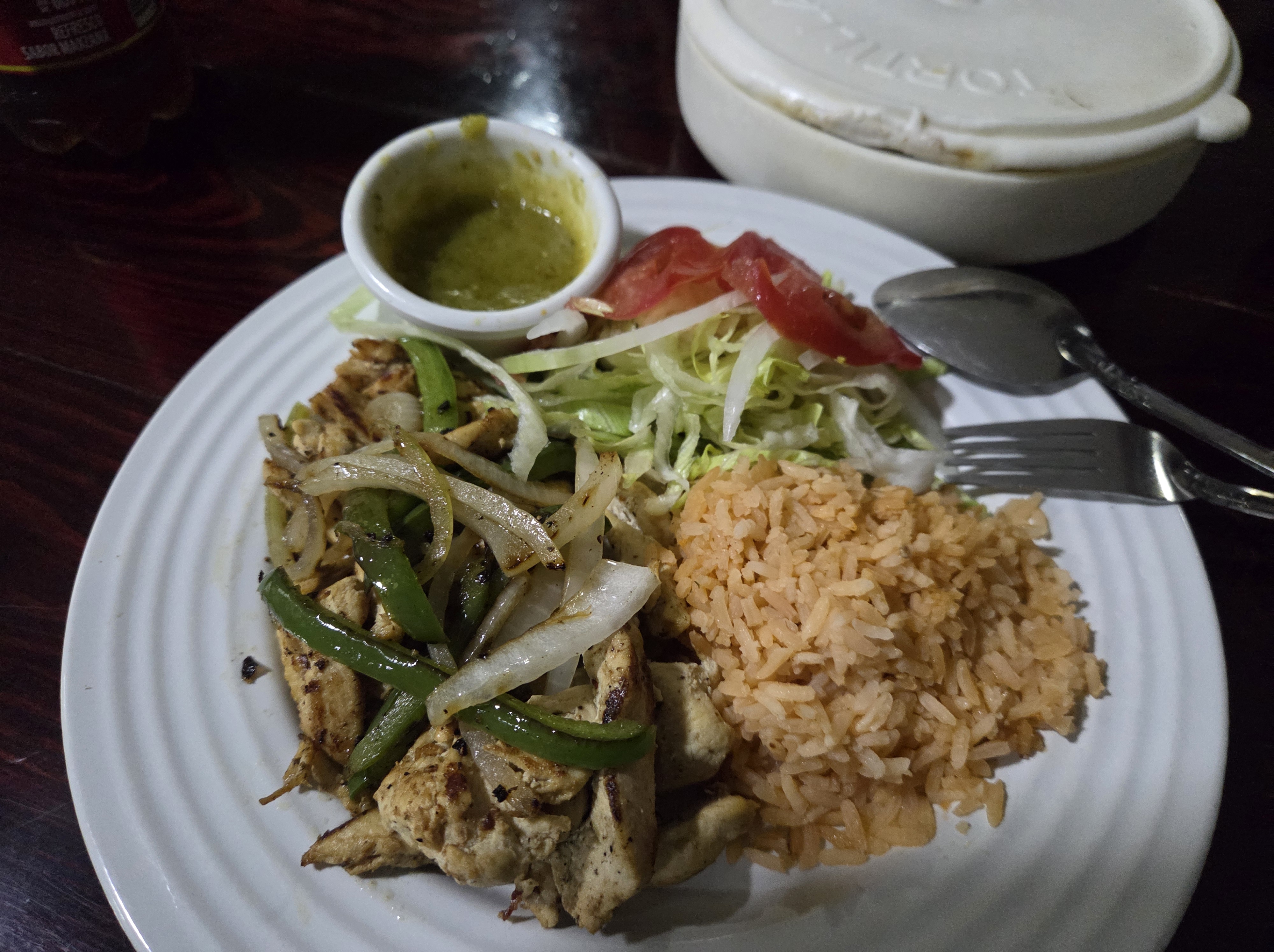
Fajita dinner at the restaurant at La Posado. Still yummy but slightly more refined.
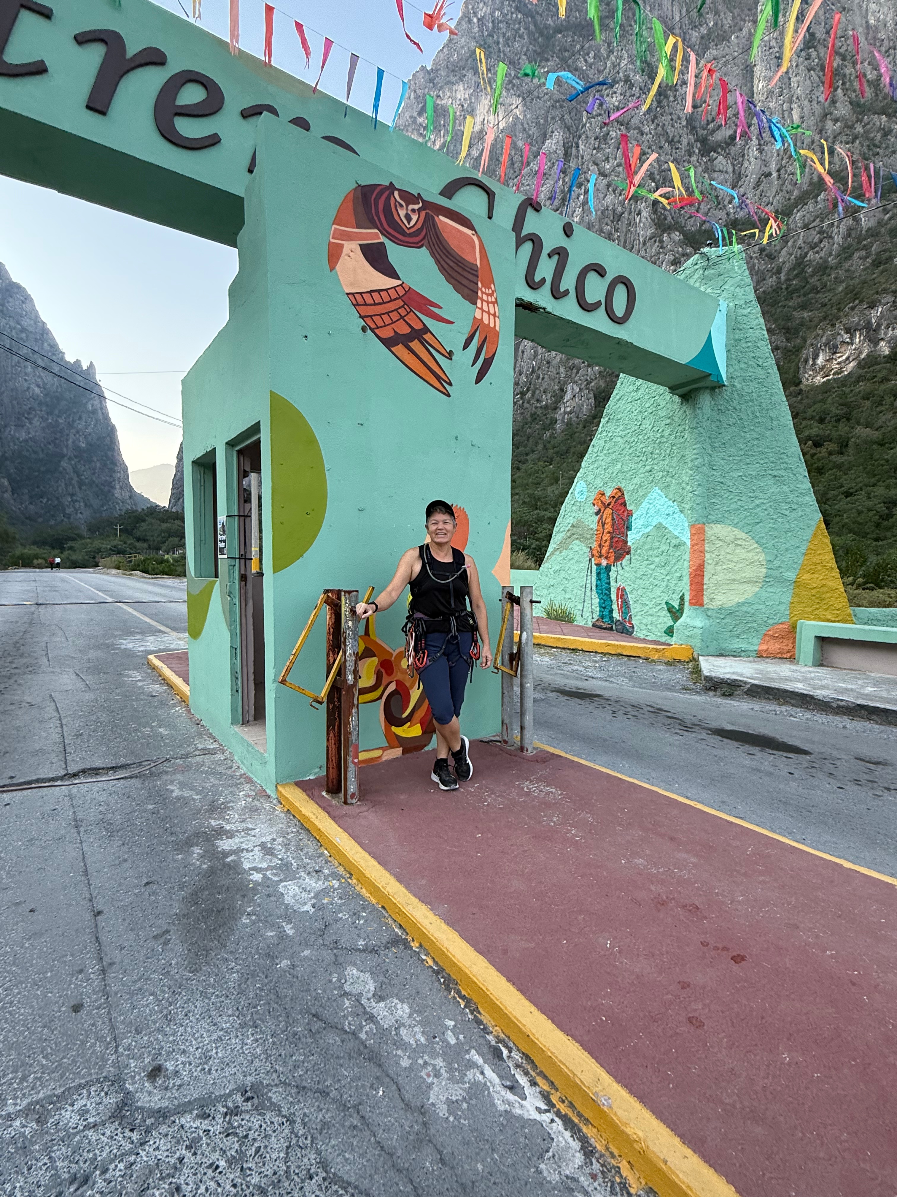
Arrived at Rancho El Sandero. So excited to get out and climb tomorrow.

Hadn’t worked up an appetite for the all-you-can-eat dinner at Leo’s but it was still worth it. The chicken and pork were super tender and juicy.

Many people come for the wine, the ambience, the camaraderie… since I don’t drink wine, need to drive 30 minutes to see brown grass, or have friends that run, I’d guess that I was in attendance for the Vineyard at Florence Turkey Trot 5k because I could.
A few years ago, I tried to tempt some friends to train with me in the style of a Couch to 5k. Part of the temptation was wine and we signed up for a wine run at the same venue. Before we even met for the first practice, I rolled my ankle. I was able to walk that 5k but it was disappointing at best.
On September 20th, I received an email advertising the Turkey Trot. I’m not sure why, but I signed up. The next day, I found my running shoes and started jogging.
I chose to do the 5k solo. Maybe I thought I’d jinx myself if I invited others.

It was a beautiful day. I tried to focus on pacing but the costumes and cute dogs were so distracting that I found myself “chasing” others and had to pull back so I didn’t overexert myself too early.

I don’t actually know if I did well but I did run the whole distance, had a few laughs, and didn’t drink wine.

My modified gumball machine was a hit at the Pickle Ranch Halloween party.

The obvious, the Louvre Museum.


The stunning, Palais Garnier and Henry IV.

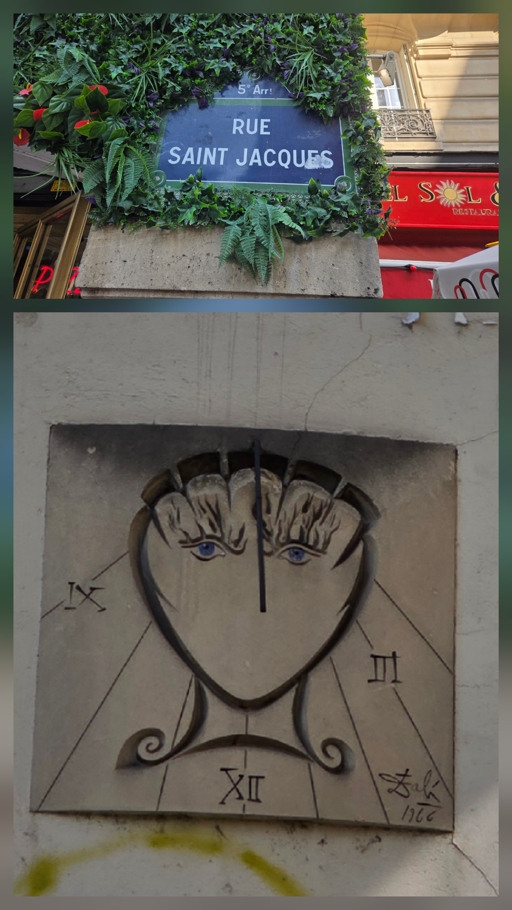
The unexpected, signs of the Camino de Santiago including a Salvador Dali scallop shell sundial.
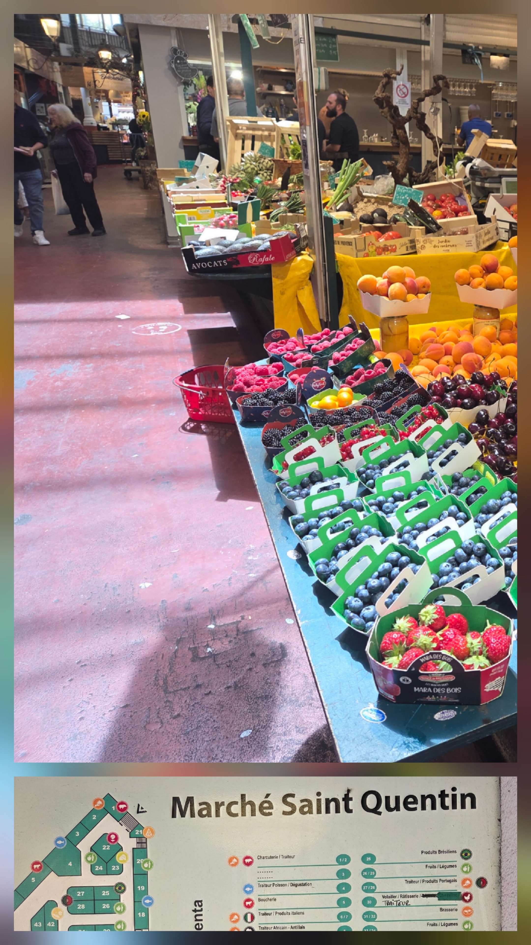
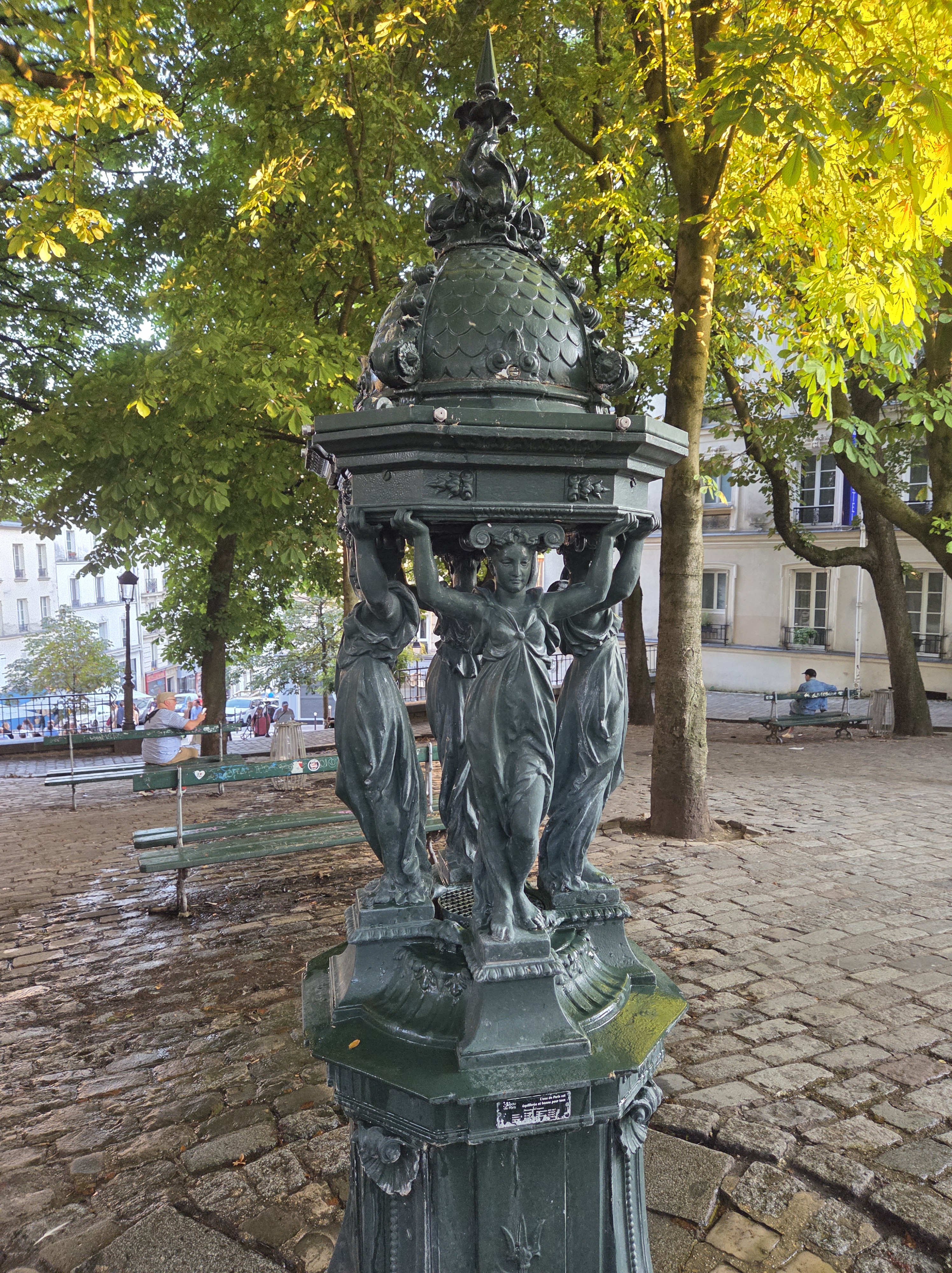
The surprising, inner city indoor markets and fancy water fountains.

The historical, once the residence and meeting place for Pablo Picasso.


The significant, Basilique du Sacré-Cœur and Le Moulin de la Galette.

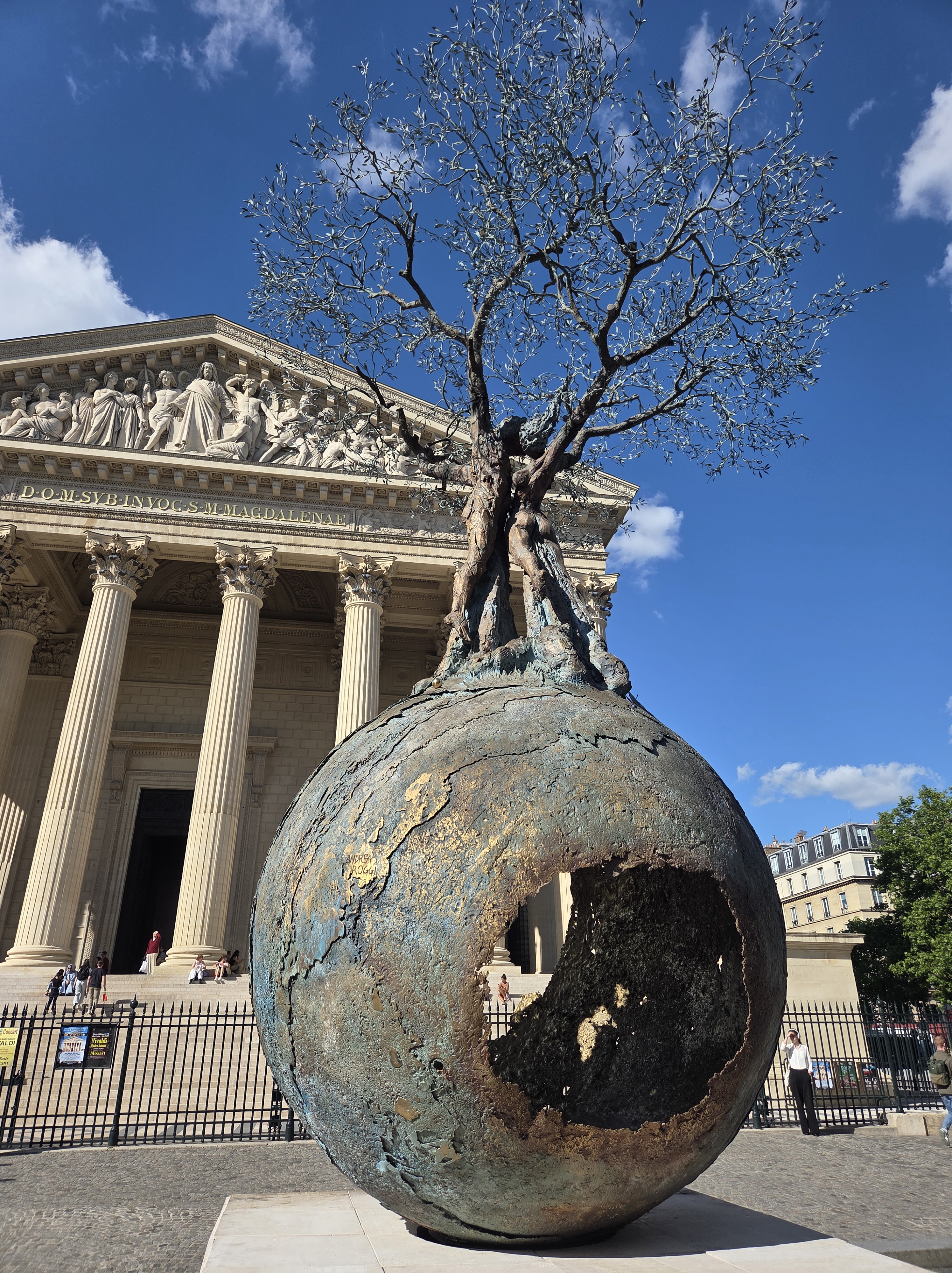
The artistic, Bourse de Commerce and Andrea Roggi’s “Apeiron” at Place de la Madeleine.


The honorific, tombs of Chopin and Jim Morrison at Père-Lachaise Cemetery.

The heartening, Place du Tertre.
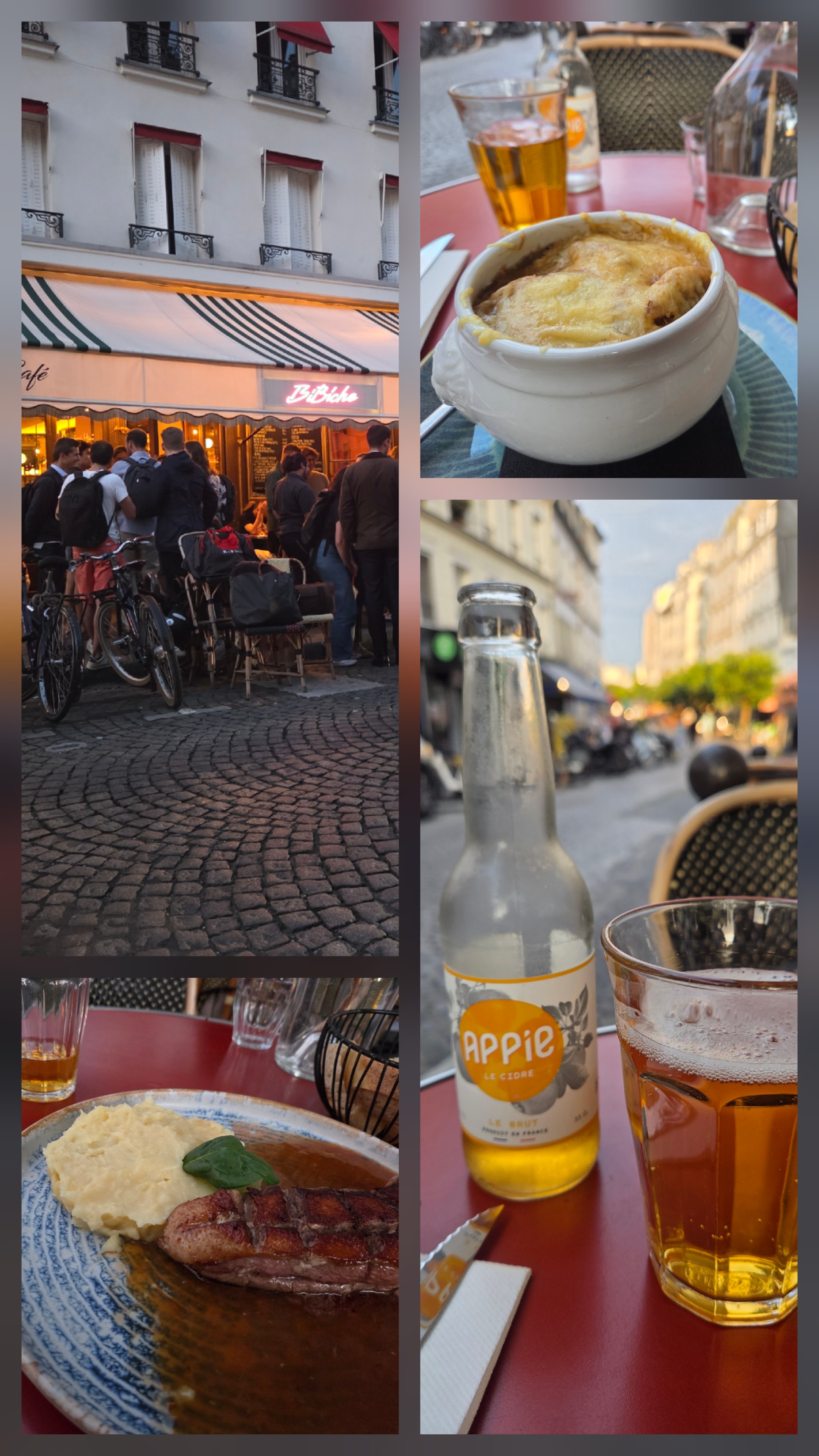

The gastronomic, yummies.

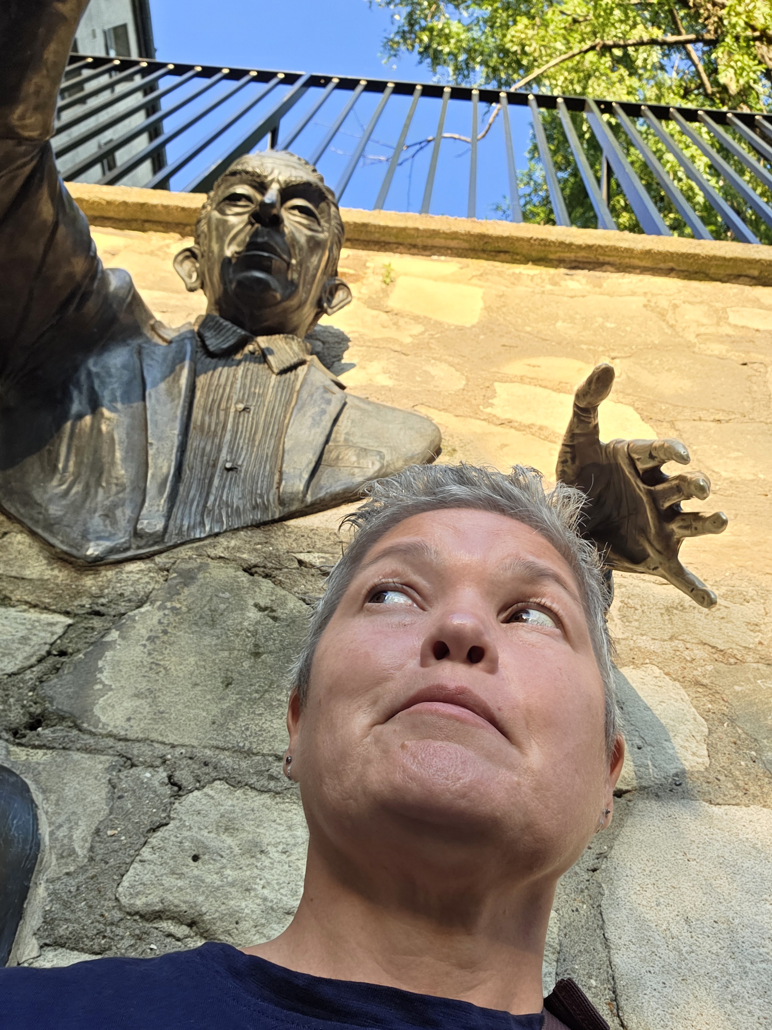
The alarming, a work by Mr Byste and Marcel Aymé’s character Dutilleul, the passer-through-walls.


The amusing, fanciest Starbucks ever and Gregos faces.

The inspiring, Le mur des je t’aime or wall of love.


The emboldening, the Medici Fountain, depicting the story of Acis and Galatea and Montaigne’s well-rubbed foot.

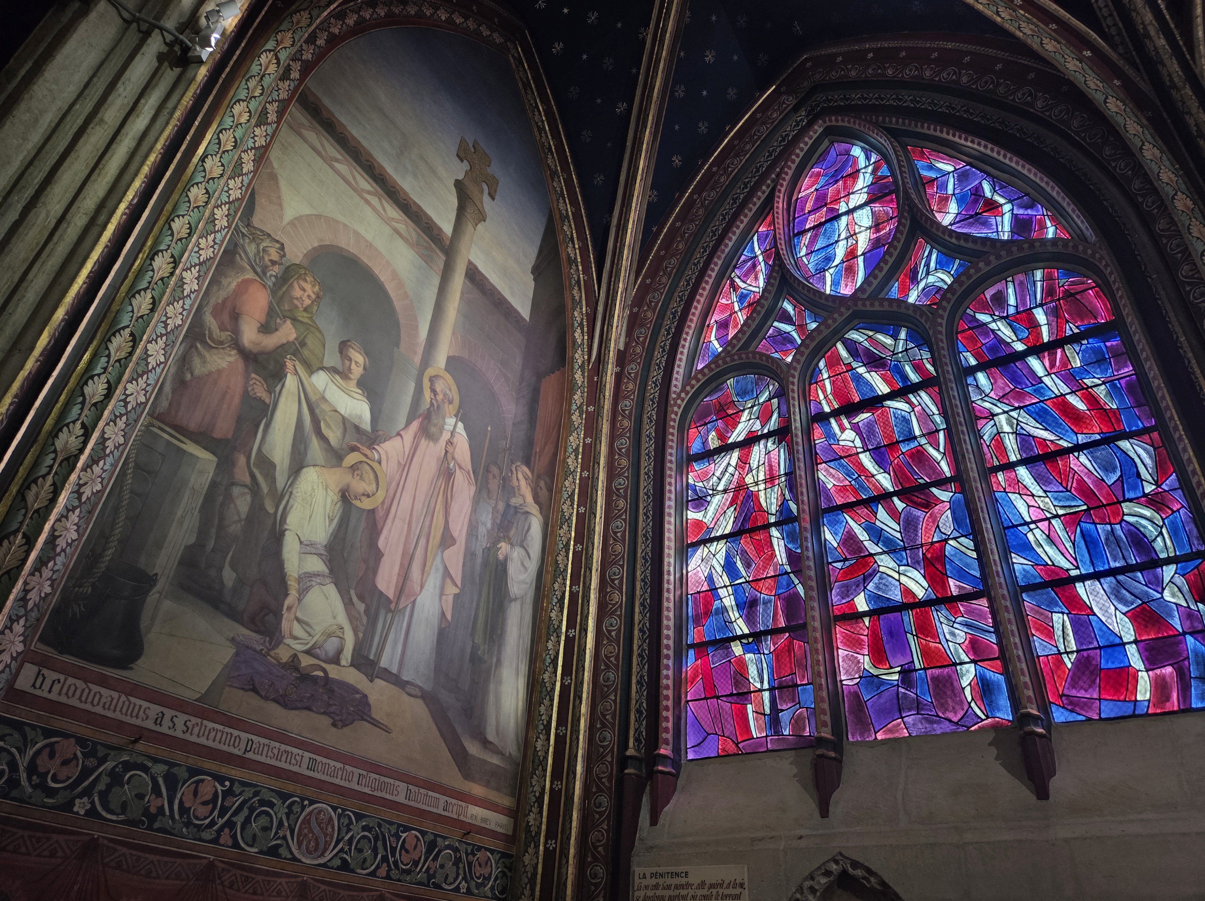
The contrasting, classic versus modern stained-glass in the Church of Saint-Séverin.


The commonplace, Musée de Cluny and flypast practice for Bastille Day.

The unanticipated, the Olympic Cauldron.
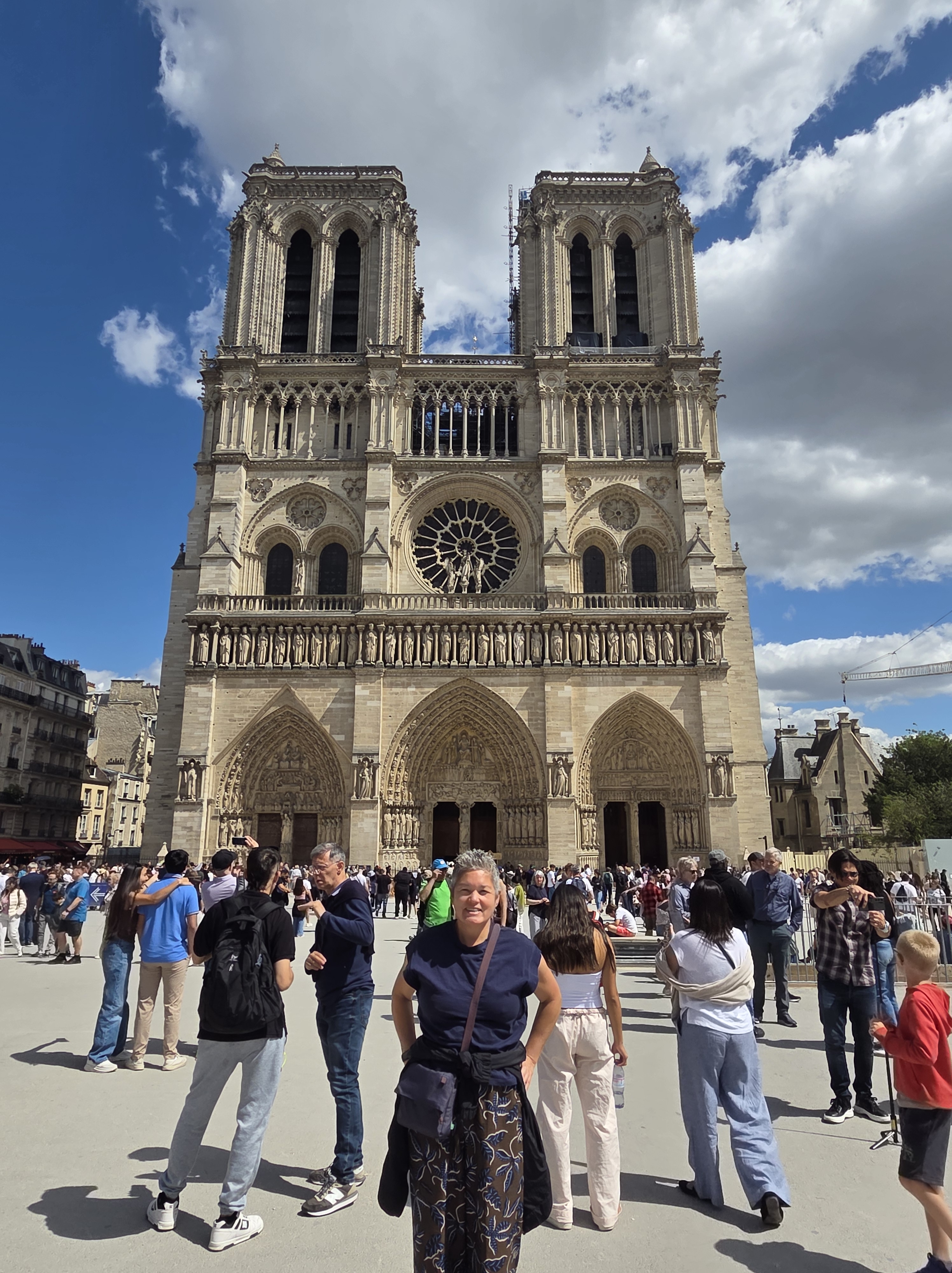

The obligatory, Notre Dame and a French bulldog in Paris.
